Outside the cover of the headland, frantic whitecaps zip across Trinidad Bay. On the beach meanwhile, the wind is reduced to a cooling breeze as pelicans dry their wings on the rocks and tourists kayak between rafts of seaweed. As I sit to ruminate on lunch (vegetarian frittatas washed down with cups of organic coffee from the local Beachcomber Cafe) I reach for my jacket as although it’s the warmest it’s been so far, the famous California mist still hasn’t quite burnt off.
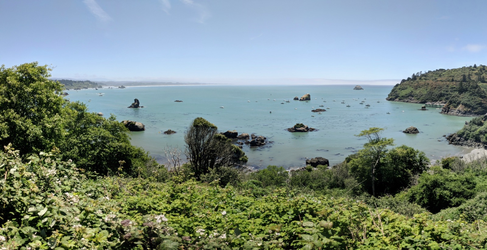
Since the border, the coastal scenery has shifted once again. The craggy headlands are now covered in greenery and the pines compete for attention amongst a great range of deciduous trees and shrubs. Collared by a band of clouds on the horizon, blue sky is reflected in the turquoise water. Still too cold to swim in but a definite upgrade from the turgid estuaries further north.
Inland though is where the main attractions are to be found. Leaving the 101, towering redwoods line the quiet roads, giant trunks erupting from a carpet of ferns. To add to the sense of occasion you can feel the climate change as you ride through the groves, cool and moist in comparison to the sun beating down outside.
A stop in Jebediah State Park about 20 miles from the border provides an opportunity to camp amongst some of the biggest specimens (the precise location of the tallest is known only to the rangers) after a brutally steep but enjoyable climb up a dirt road through the forest. Food stowed safely away from the roaming bears and boisterous raccoons, we settled down around the fire and marvelled at the silence of the forest. The trees absorb all sound, with the crackle of the logs and hiss of a distant waterfall all that remain.
Keeping a modest pace, two climbs face the cyclist on the southern route out of Crescent City. Nearly 600 meters of elevation is tackled on these slopes alone, the drag of heavily laden bicycles lightened slightly by constant gradients, smooth roads and prevailing tailwinds easing you over the headlands towards Elk Prairie. A reasonably short day is finished off with a view of the majestic elk grazing in the light of the setting sun. Enormous animals, they thankfully have little interest in our stoves and jars of peanut butter as they roam, unfazed, through the campsite.
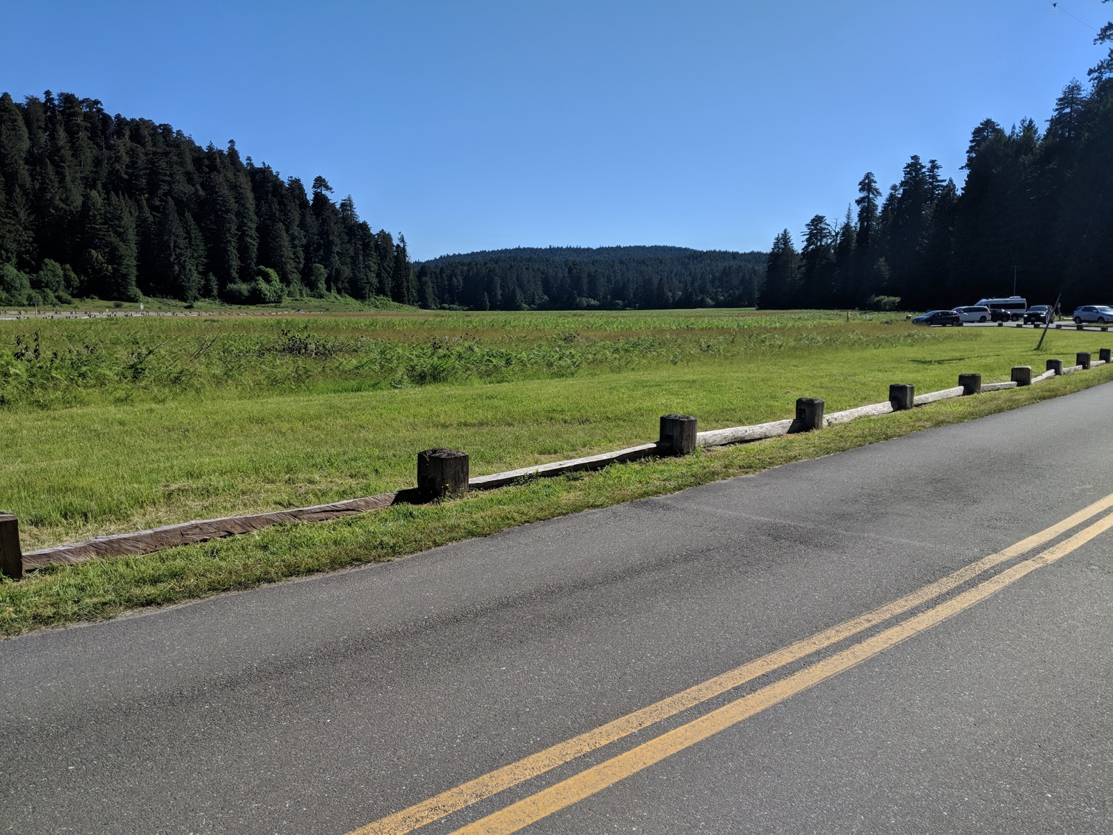
Returning to the coast, Route 101 passes a number of lonely beaches shrouded in the morning fog before passing through a number of small waterfront towns (of which Trinidad is one) and entering Eureka. Lush vegetation crowds up to the beaches that we pass as we continue south, before turning inland again towards the Avenue of The Giants for a final dose of Redwoods.
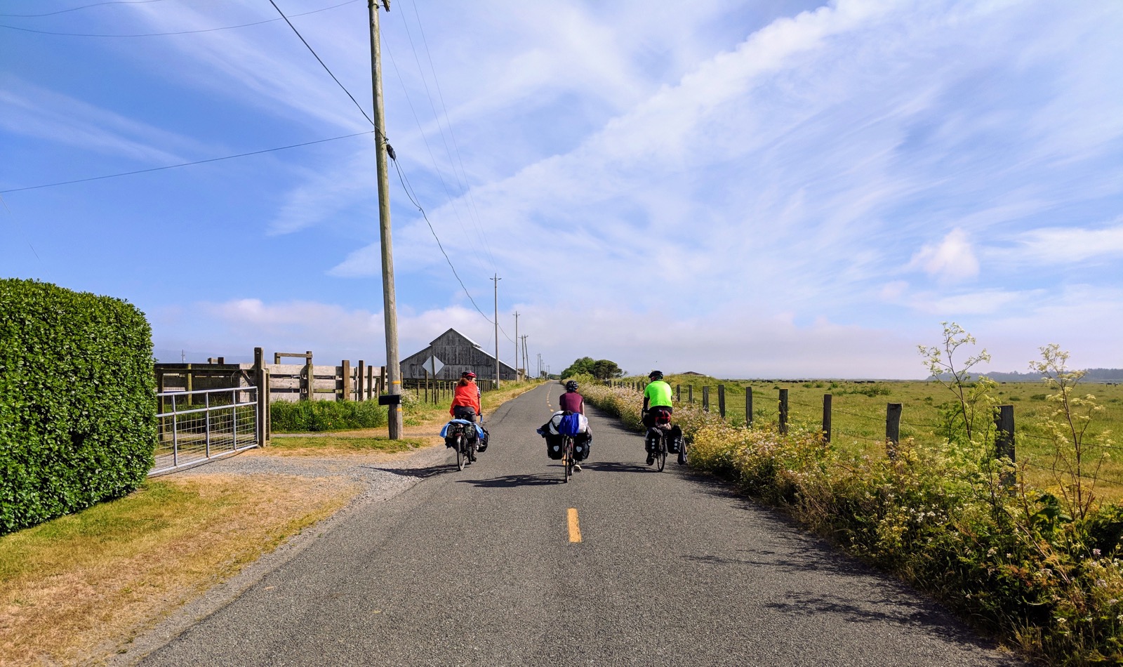
The Avenue of The Giants is another smooth and flowing road, so named for the size of the Redwoods that push up against it. Sky is visible through the narrow overhead strip between the treetops as you glide along the tarmac for miles. A stream of passing RVs and caravans break the silence but the atmosphere is peaceful and with no mobile phone signal there’s little to distract from the moment.
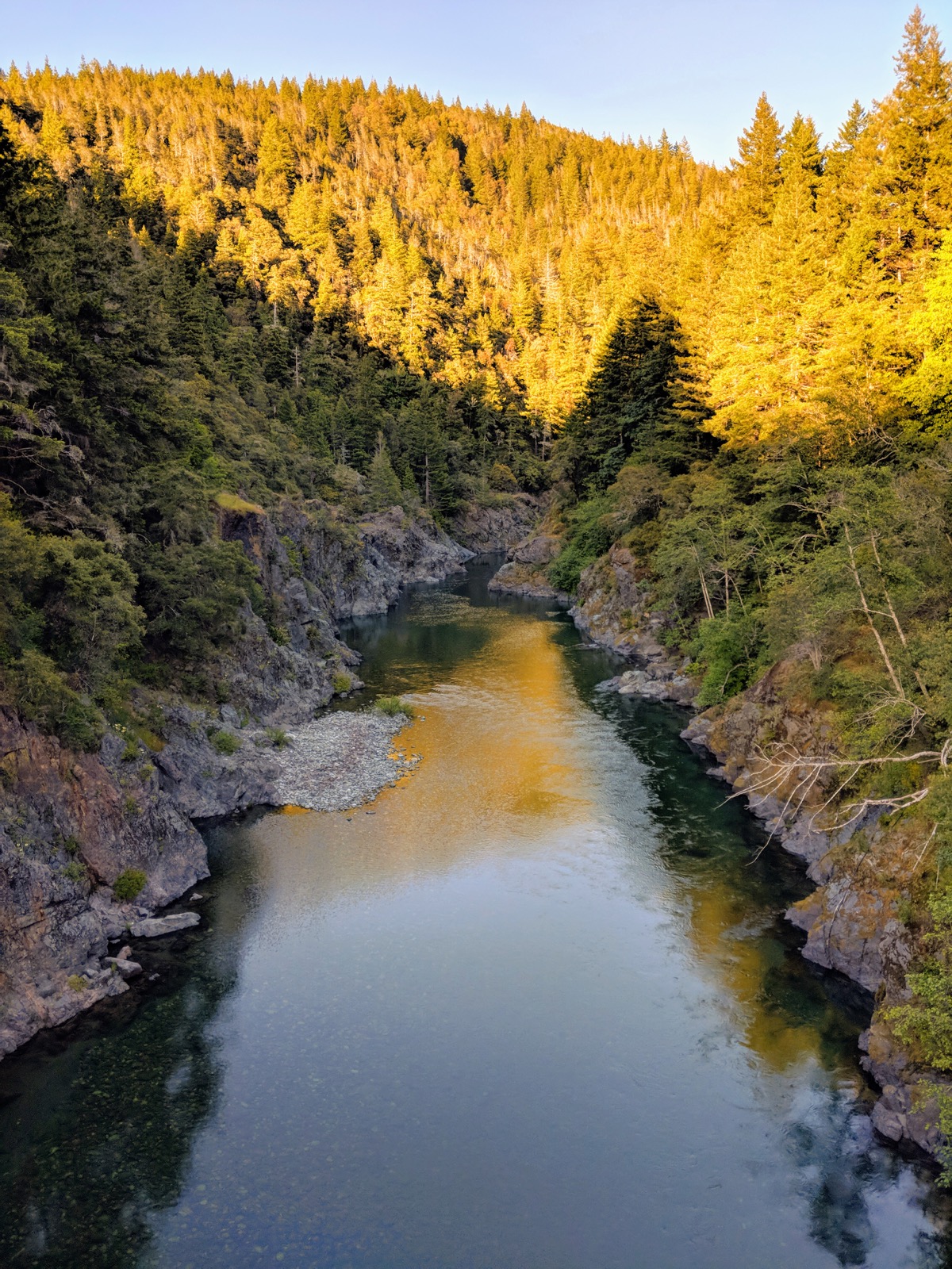
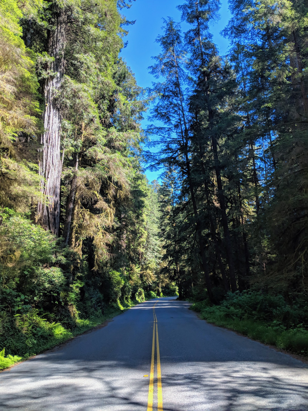
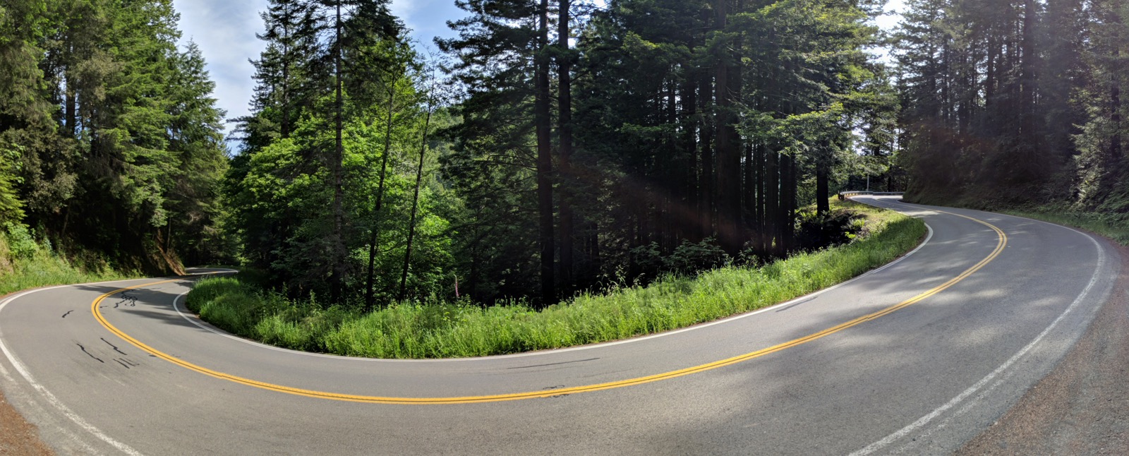
The riding in this part of California is strenuous with around 1000 meters of climbing to be covered every day. By the end of the second day I’m ready to return to the coast as Redwood-fatigue begins to set in. One final obstacle must be tackled before we can race back to the Pacific and that’s the climb leaving the village of Leggett. 600 Meters of ascent spread over 2 back-to-back climbs greet the cyclist immediately after the beginning of California Route 1. The hill is long and views are hard to come by but the gradient is sensible and the 600 Meter descent is one of the best I’ve ridden. Confidence builds as you kiss the apices until an unexpected gravel patch mandates a hasty deceleration. 90 minutes after leaving Standish-Hickey State Park and the Pacific is revealed over the crest of the second climb, marking the end of the Redwoods and the beginning of a new section of the journey.
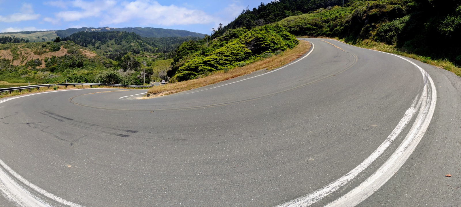
The mile posts count down as you speed down the coast towards San Francisco. Route 1 dives in to the bays and snakes up the headlands making for a choppy and exhausting ride. The steepest climb on the entire coast route is found here but thankfully the scenery compensates, deserted beaches and blooming vegetation bordering the road. The wooden-clad town of Point Reyers Station marks the beginning of yet another section. I say goodbye to one of the riders that I’ve been travelling with for the last 10 days (he is lucky enough to be spending a night in an upmarket hotel in Sausalito before spending a night in the fully-booked campsite on the Marin Headlands, overlooking the Golden Gate Bridge) and am once again back on my own, heading for San Francisco.
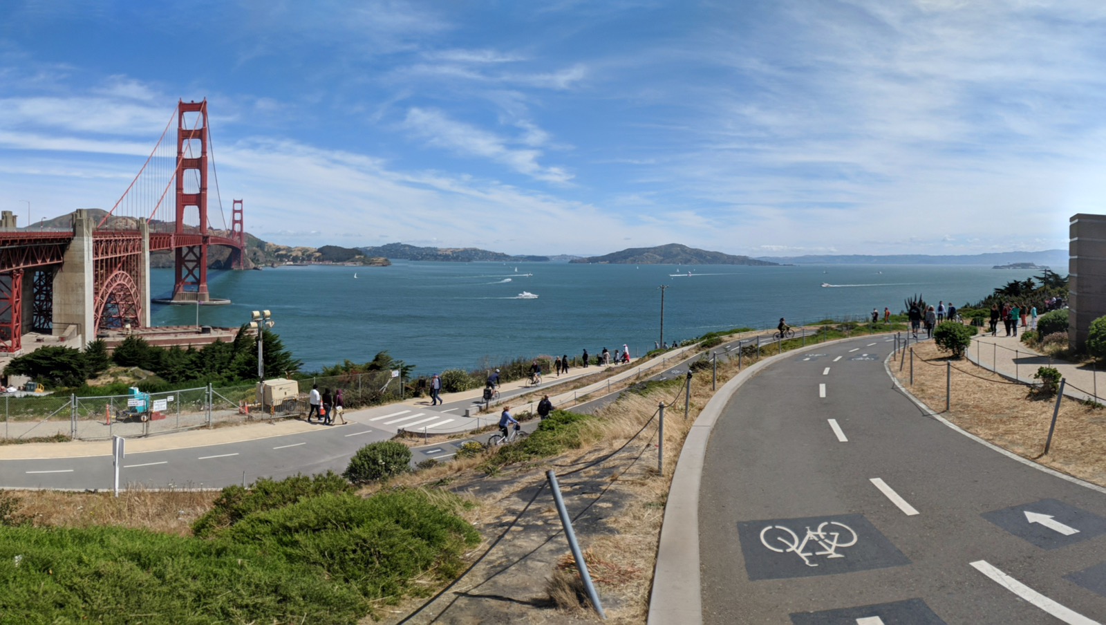
I’m eager to catch my first glimpse of the bridge and as I roll through Larkspur and Marin city on the Northern edge of the bay, a local rider stops to talk to me at the lights. In a display of kindness that I’ve so far found to be commonplace in the US, he ends up guiding me through the winding roads around the bridgehead, pointing out the sights and taking my picture with the stark orange girders in the background.
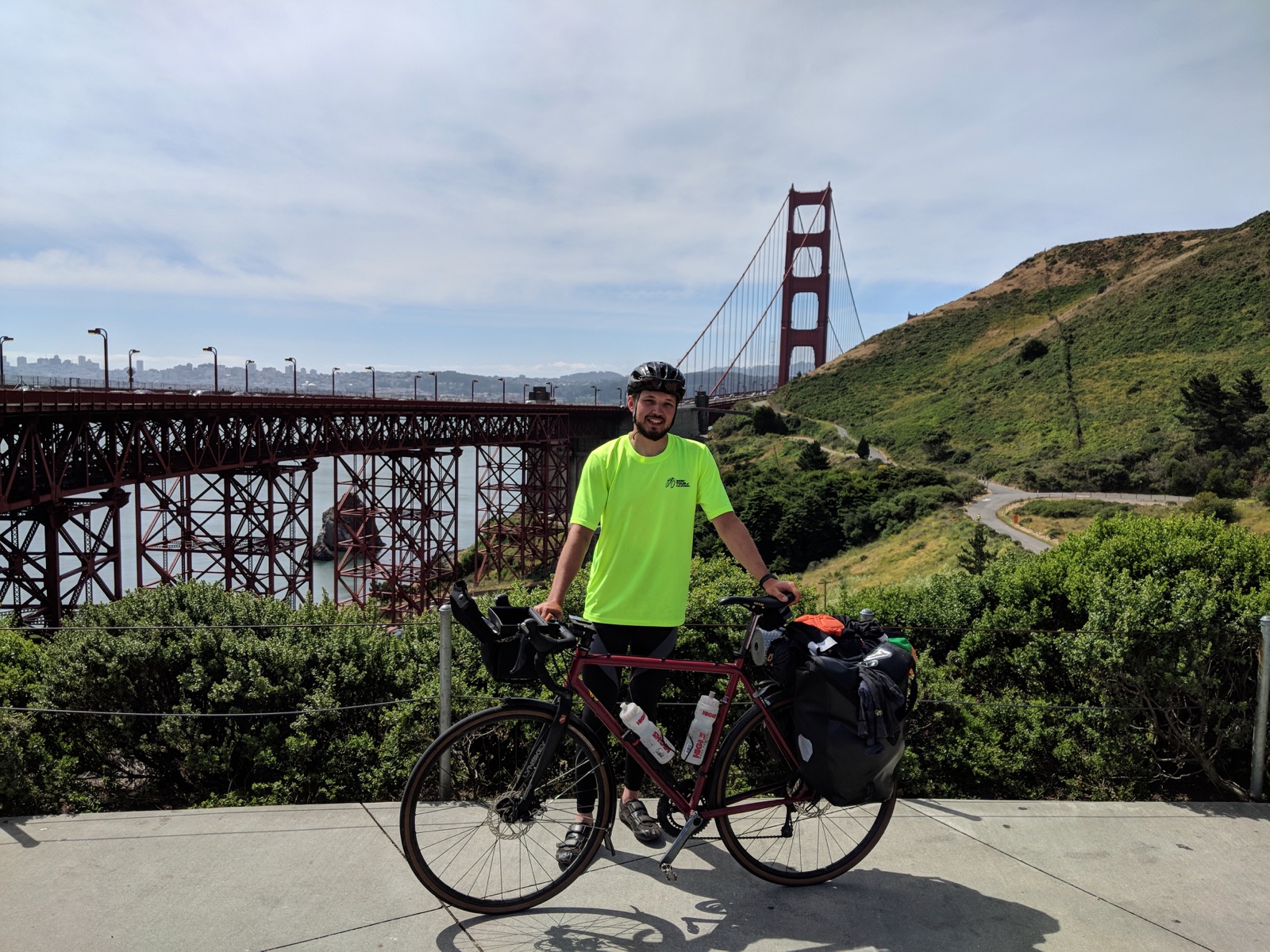
The weather is windy but clear as I make my way in to San Francisco, dodging groups of tourists on hired bicycles. Incessant traffic rumbles past as the bridge sways gently in the breeze. Before I know it I’ve made it to San Francisco and on to the final part of my journey.
